1 of 3 slides.
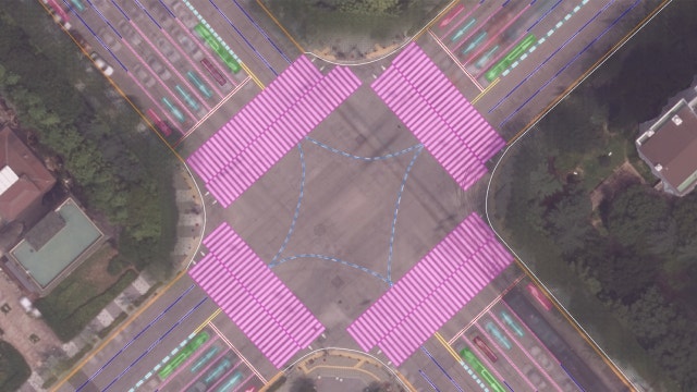
Extracting Road Layout Information From Aerial Images Through Deep Learning Technology

HD Map & Localization Dataset V1.0 (Yeouido)
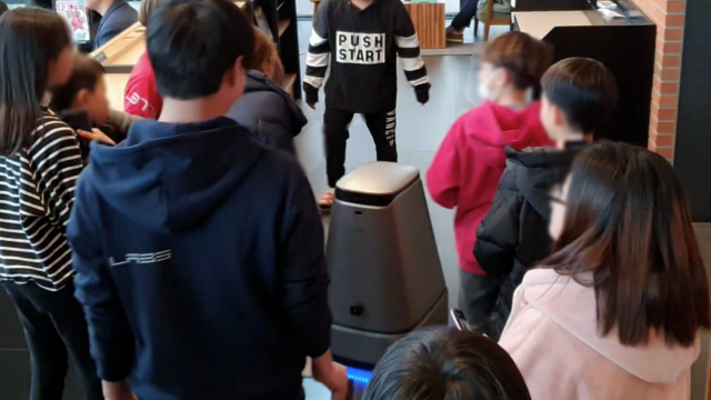
Enabling Robots to Learn Indoor Autonomous Driving Algorithms That Allow Them to Adapt to Various Settings and Tasks Through Reinforcement Learning
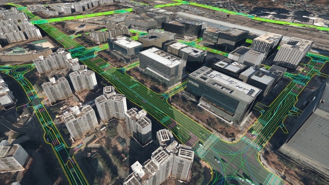
Aerial image based 3D modeling for HD mapping
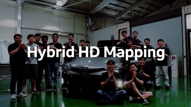
High-Precision Synergies of Experts, Hybrid HD Mapping

“What Can Robots Do? Things That Smartphones Won’t Be Able to Do” – An Interview with MIT Professor Sangbae Kim

Indoor AR Navigation: How we developed a multi-floor demo at Hyundai Department Store–Pangyo
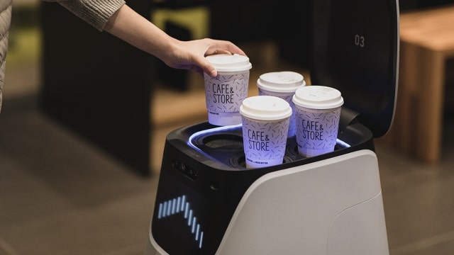
Human-Robot Interaction Tests on the AROUND C Cafe Delivery Robot
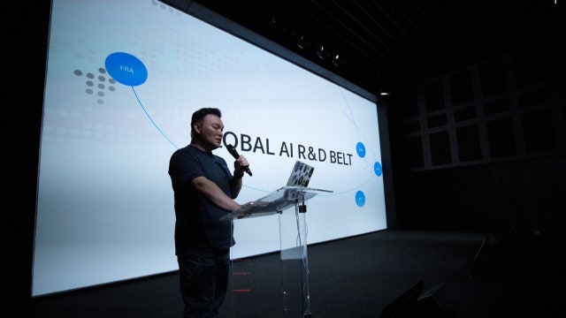
“AI for Robotics,” A Global Workshop on the Future of AI and Robots
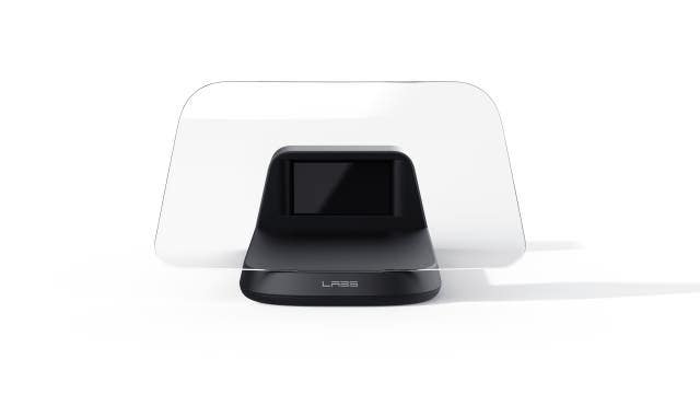
NAVER LABS AHEAD demonstration in a real urban environment
MIT Mini-Cheetah Workshop
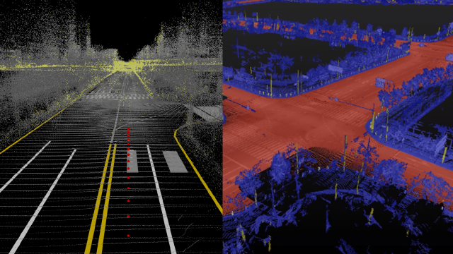
NAVER LABS distributes HD map data free of charge